Need help? Call us: +1 416-549-8100 or customerservice@mbpinc.net
United Scientific
Contour Model Kit, 1 Each
SKU:CONTRMODL
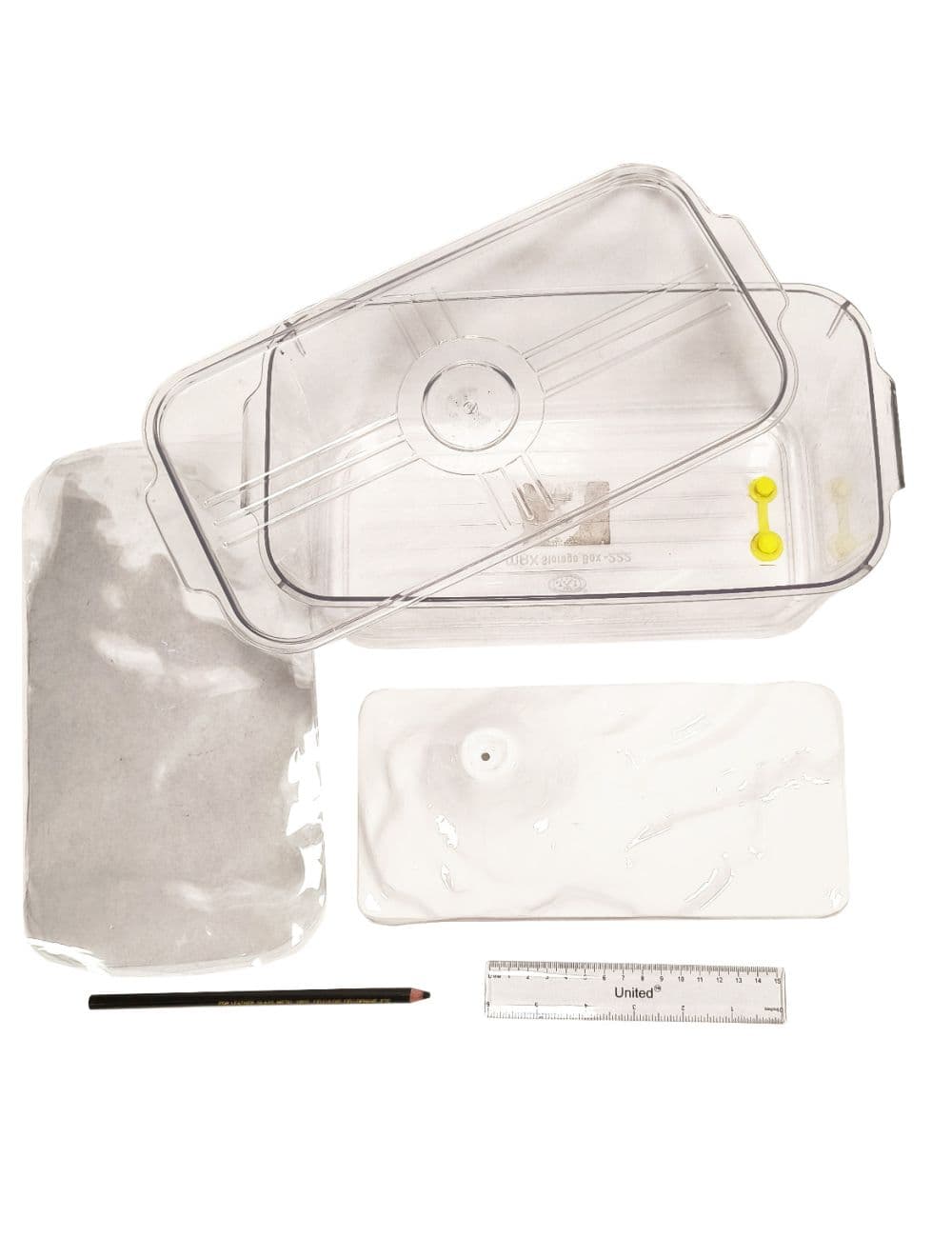
The Contour Model Kit by United Scientific teaches how contour lines represent elevation. Students fill an 11¼" x 6" x 3½" PET container holding a polystyrene landform model with water in stages and trace each waterline onto clear PET sheets to create a topographic map. Includes 5 tracing sheets, a wax pencil, a 6-inch ruler and an activity guide for groups of up to 5 in geography and earth science classes.
List Price
USD34.93
Reference retail rates
Online Price
USD24.95
Excludes tax & shipping
Your Price
Your contract pricing and PO terms
No Information Found

We provide the highest quality of products and anytime customer service.

Featured Categories

online payment

fast delivery

technical support

24/7 support
